Heart of Africa

Minimalist black and gray heart photo. A simple symbol to showcase this post “Heart of Africa.”
Editor’s note: This post will continue to evolve just as I do.
Hello, traveler, welcome back to Around the World, our journey through every nation on Earth. I’ll be publishing new posts every Monday, Wednesday, and Friday for the rest of the year (unless there’s an American holiday*). Each post will spotlight a group of countries at a time. Think of it as an ongoing passport stamp, one post at a time. If you’re looking for a guide throughout our adventures, look no further. My first post of this series “Just the Beginning” is a wonderful guide to utilize.
Today’s stop is the “Heart of Africa” where we’ll visit the following nations: Cabo Verde,Cameroon, Central African Republic, Chad, Comoros, and Congo. These countries sit at the center of the continent, often overlooked on maps but pulsing with history, culture, and resilience.
World geography is more than borders and capitals. It’s a chance to see beyond our bubble, to understand names and flags we might never encounter, and to realize that every country, no matter how small or how remote, has its own story.
So let’s dive into the heart of a continent that has shaped human history and continues to shape the future.

My hand-drawn flag of Cabo Verde
CABO VERDE
Official name: Republic of Cabo Verde
Pronunciation: kaa-bow-vehr-day
Capital: Praia
Location: Island country is in Western Africa off the coast of Senegal in the Northern Hemisphere
Surrounding countries: Near Western Sahara, Mauritania, Senegal, Gambia, Guinea-Bissau
Official language: Portuguese
Most known for: Morna Music
Fun fact: More Cabo Verdeans live abroad than on the islands themselves. To learn more, check out IOM Worldwide’s webpage on Cabo Verde, click here.
Recent news article: Cabo Verde Among Upper-Middle Income Countries (World Bank) (Ecofin Agency, 2025)
My knowledge: Not too familiar with Cabo Verde. The only thing I know is that the country previously went by Cape Verde in English. But Cabo Verde is the official Portuguese name they requested to go by
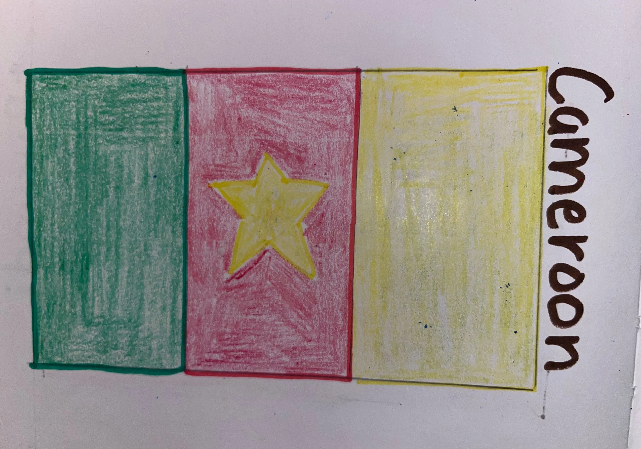
My hand-drawn flag of Cameroon
CAMEROON
Official name: Republic of Cameroon
Pronunciation: ka-mr-oon
Capital: Yaoundé
Location: Central Africa on the Gulf of Guinea just above the equator in the Northern Hemisphere
Surrounding countries: Nigeria, Chad, Central African Republic, Republic of Congo, and Gabon
Official language: French and English
Most known for: Home to one of Africa’s largest volcanoes, Mount Cameroon.
Fun fact: The World’s Largest Frog, Goliath Frog, can get up to 45 cm, call Cameroon home. Here is a video from YouTube that provides much information on this frog.
Recent news article: 2025 Presidential Election in Cameroon. A Decisive Turning Point or More of the Same? (Numb Wallace, 2025)
My knowledge: I am unfamiliar with Cameroon
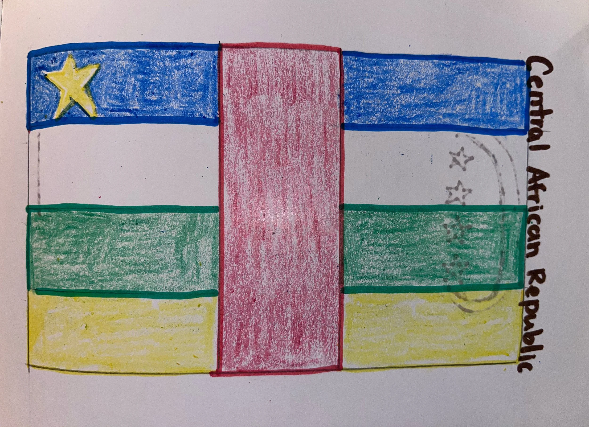
My hand-drawn flag of CAR
CENTRAL AFRICAN REPUBLIC
Official name: Central African Republic
Pronunciation: sen-truhl a-fruh-kuhn ruh-pub-bluhk
Capital: Bangui
Location: In Central Africa, just above the equator in the Northern Hemisphere
Surrounding countries: Cameroon, Chad, Sudan, South Sudan, Democratic Republic of Congo, and Republic of Congo
Official language: French, Sango
Most known for: Rich, natural resources like diamonds and gold
Fun fact: The African Pole of Inaccessibility is located in Central African Republic near the town of Obo. This point is the furthest from any coastline in Africa. Due to its remote location as well as a few other factors, it is difficult to get too. However, Daniel Garcia-Castellanos shares his journey there. Click here to read.
Recent news article: Central African Republic Sets 28 December 2025 for pivotal general elections (Dominic Wabwireh with other agencies, 2025)
My knowledge: I’ve been aware of Central African Republic for a period of time as I was assigned this country for a project back in 2012.

My hand-drawn flag of Chad
CHAD
Official name: The Republic of Chad
Pronunciation: Ch-ad
Capital: N’Djamena
Location: Located in North, Central Africa in the Northern Hemisphere
Surrounding countries: Niger, Libya, Sudan, Central African Republic, Cameroon, Nigeria
Official language: Arabic, French
Most known for: It’s extreme ethnic and linguistic diversity with over 200 ethnic groups and more than 120 indigenous languages. To read more, I’ve found this article Exploring Chad’s Ethnolinguistic Diversity: Major Languages and Dialect article.
Fun fact: The Enned Massif is one of the World’s most significant sites for prehistoric art. If that is something up your alley, here is an article I found with more information.
Recent news article: Chad votes to allow president to run unlimited times (Reuters, 2025)
My knowledge: I’m not familiar with Chad
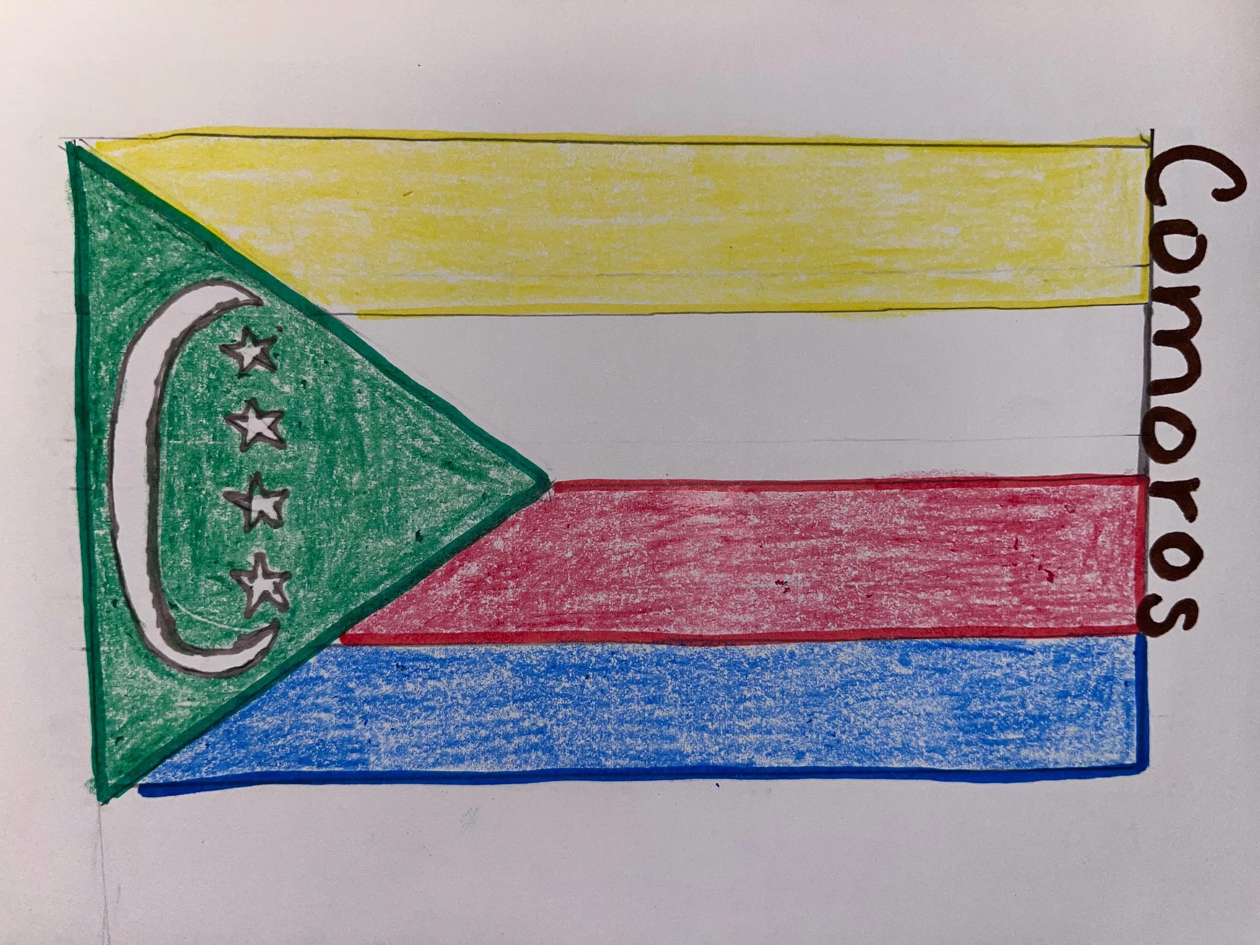
My hand-drawn flag of Comoros
COMOROS
Official name: The Union of the Comoros
Pronunciation: kaa-mr-owz
Capital: Moroni
Location: Island country located in South Eastern Africa off the coast of Mozambique in the Southern Hemisphere
Surrounding countries: Near Mozambique and Madagascar
Official language: Comorian, French, Arabic
Most known for: World’s largest producer of Ylang-Ylang, a fragrant flower used in perfumes. For more information on Ylang-Ylang, you can read here
Fun fact: Here is a direct quote from 12 Interesting Facts About Comoros, “With fewer than a million people, Comoros is one of the least populous countries in the world but its one of the most densely populated”
Recent news article: Comoros Celebrates 50 Years of Independence With Siacom 2025 (Carinah, 2025)
My knowledge: I don’t have any prior knowledge of Comoros
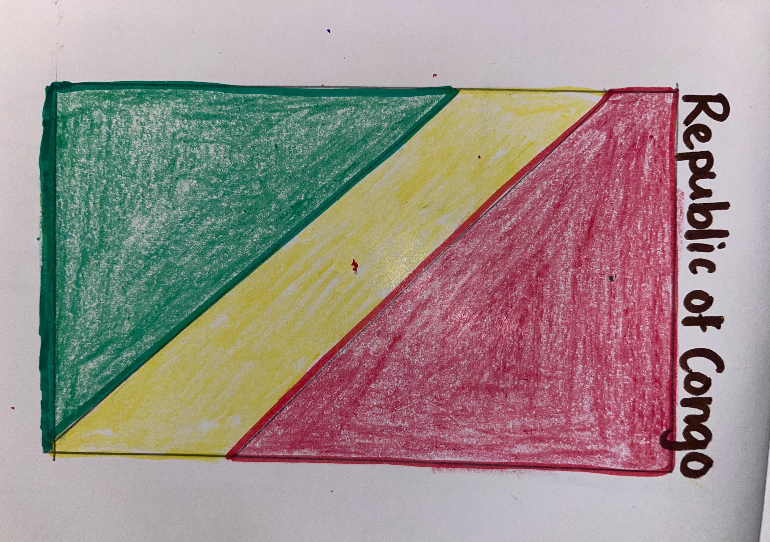
My hand- drawn flag of Congo
CONGO
Official name: Republic of the Congo
Pronunciation: rip-uh-lik uhv dhuh kong-go
Capital: Brazzaville
Location: In Central Africa on the equator in both Northern and Southern Hemisphere
Surrounding countries: Gabon, Cameroon, Central African Republic, Democratic African Republic, and Belize
Official language: French
Most known for: Rich in natural resources like timber, petroleum, and minerals like copper, gold, and diamonds
Fun fact: Only country where Bonobos, a type of Chimpanzee, can be found.
Recent news article: Republic of Congo to Launch New Gas Code in October 2025 (African Energy Chamber, 2025)
My knowledge: Unfamiliar with Congo
As we leave the “Heart of Africa,” it’s worth remembering that maps aren’t just lines on paper. They’re living stories of people, cultures, and places that shape the rhythm of our shared world.
Your turn: Have you visited or learned about any of these countries before? I’d love to hear your experience. Comment below.
This is just the second stop in our Around the World journey. Come back each Monday, Wednesday, and Friday as we continue to explore other corners of the globe, one group of countries at a time. The more we open our maps, the more we open our minds.
As a signature of my blog, I’d like to end this post with a suggestion to “Pass on kindness.” There’s no time like the present to Inspire Those Who Inspire You. Acts of kindness, no matter how big or small, can have a direct, positive impact on someone else. Go out there today and change someone’s life for the better!
***These are my personal opinions and may not be those of my employer.***